Visit / PA Historical Marker Trail

Warren County

Stop #1 – Pennsylvania

Founded 1681 by William Penn as a Quaker Commonwealth. Birthplace of THE DECLARATION OF INDEPENDENCE and THE CONSTITUTION OF THE UNITED STATES.

Discovering Lumber Hertitage Through History and Education

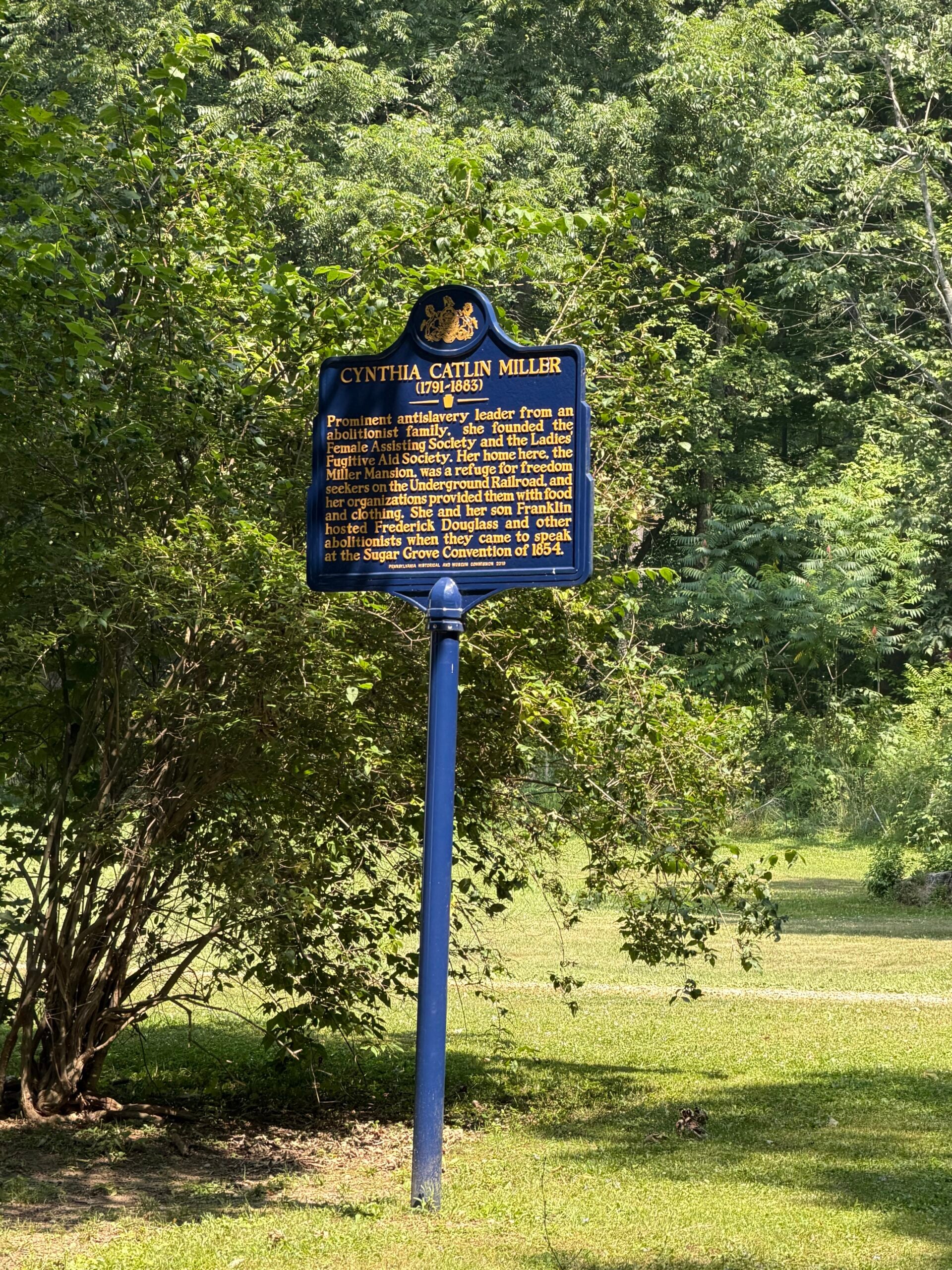
Stop #2 – Cynthia Catlin Miller (1791-1883)

Prominent antislavery leader from an abolitionist family, she founded the Female Assisting Society and the Ladies’ Fugitive Aid Society. Her home here, the Miller Mansion, was a refuge for freedom seekers on the Underground Railroad, and her organizations provided them with food and clothing. She and her son Franklin hosted Frederick Douglass and other abolitionists when they came to speak at the Sugar Grove Convention of 1854.

Website: https://www.hmdb.org/m.asp?m=175187

Google Maps Coordinates https://maps.app.goo.gl/h5KpRgVcB43NKagf8

Discovering Lumber Hertitage Through History and Education

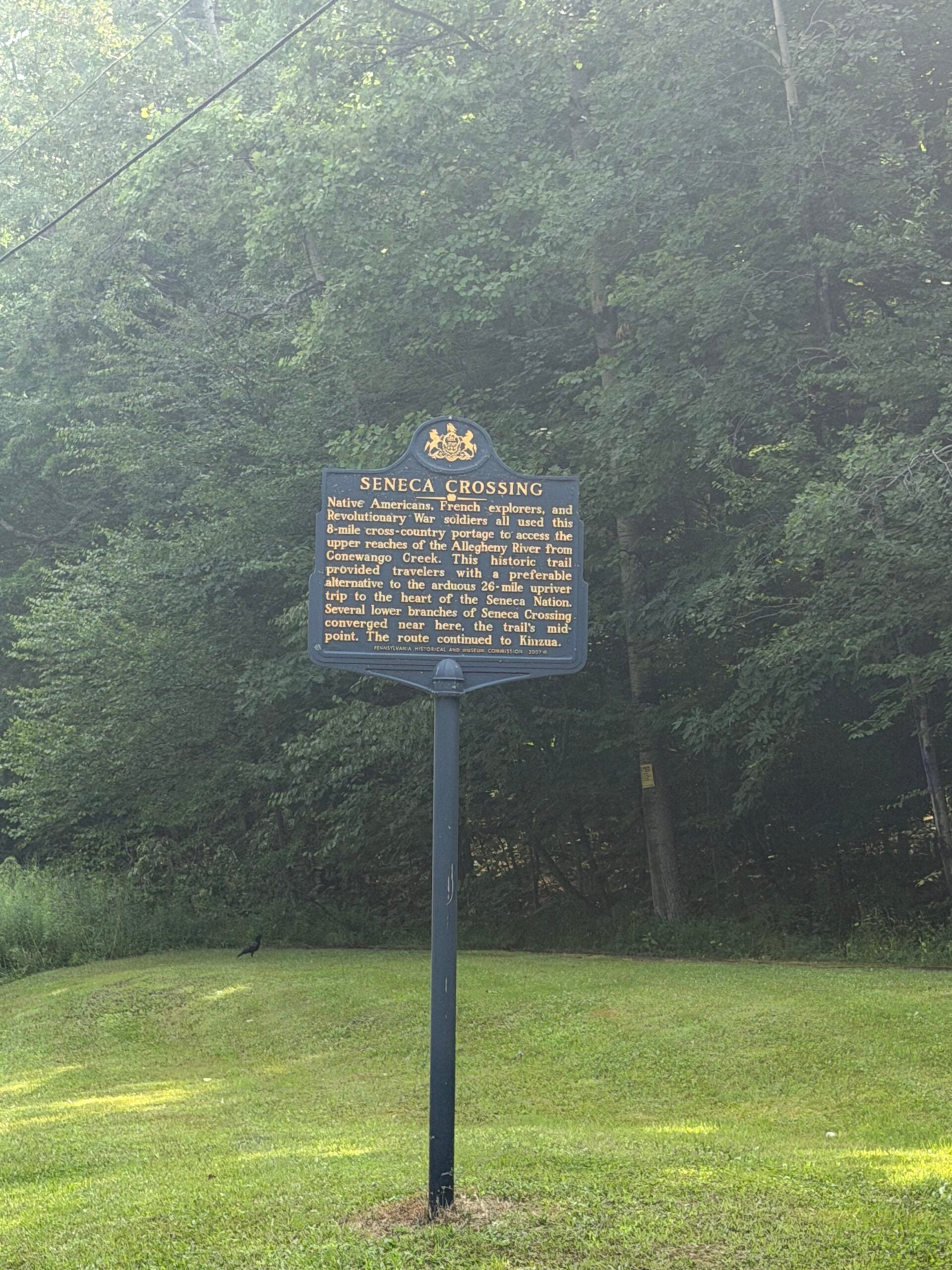
Stop #3 – Seneca Crossing

Native Americans, French explorers, and Revolutionary War soldiers all used this 8-mile cross-country portage to access the upper reaches of the Allegheny River from Conewango Creek. This historic trail provided travelers with a preferable alternative to the arduous 26-mile upriver trip to the heart of the Seneca Nation. Several lower branches of Seneca Crossing converged near here, the trail’s mid-point. The route continued to Kinzua.

Website https://www.hmdb.org/m.asp?m=59126

Google Maps Coordinates https://maps.app.goo.gl/3bndmaGmfRHZgpAS9

Discovering Lumber Hertitage Through History and Education

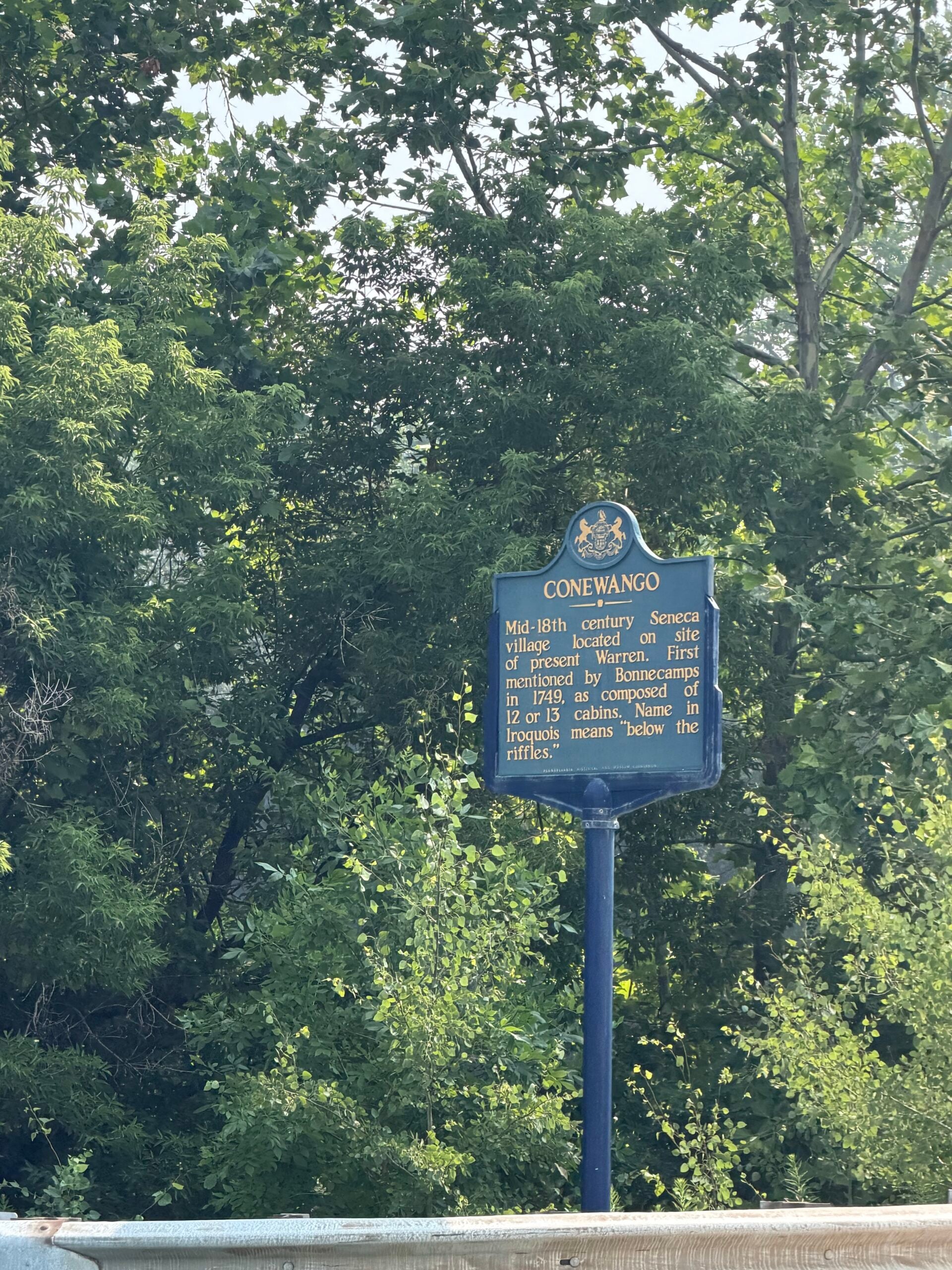
Stop #4 – Conewango

Mid-18th century Seneca village located on site of present Warren. First mentioned by Bonnecamps, in 1749, as composed of 12 or 13 cabins. Name in Iroquois means “below the riffles.”

Website https://www.hmdb.org/m.asp?m=59123

Google Maps Coordinates https://maps.app.goo.gl/bAZL5oFWzXJc1Asp6

Discovering Lumber Hertitage Through History and Education

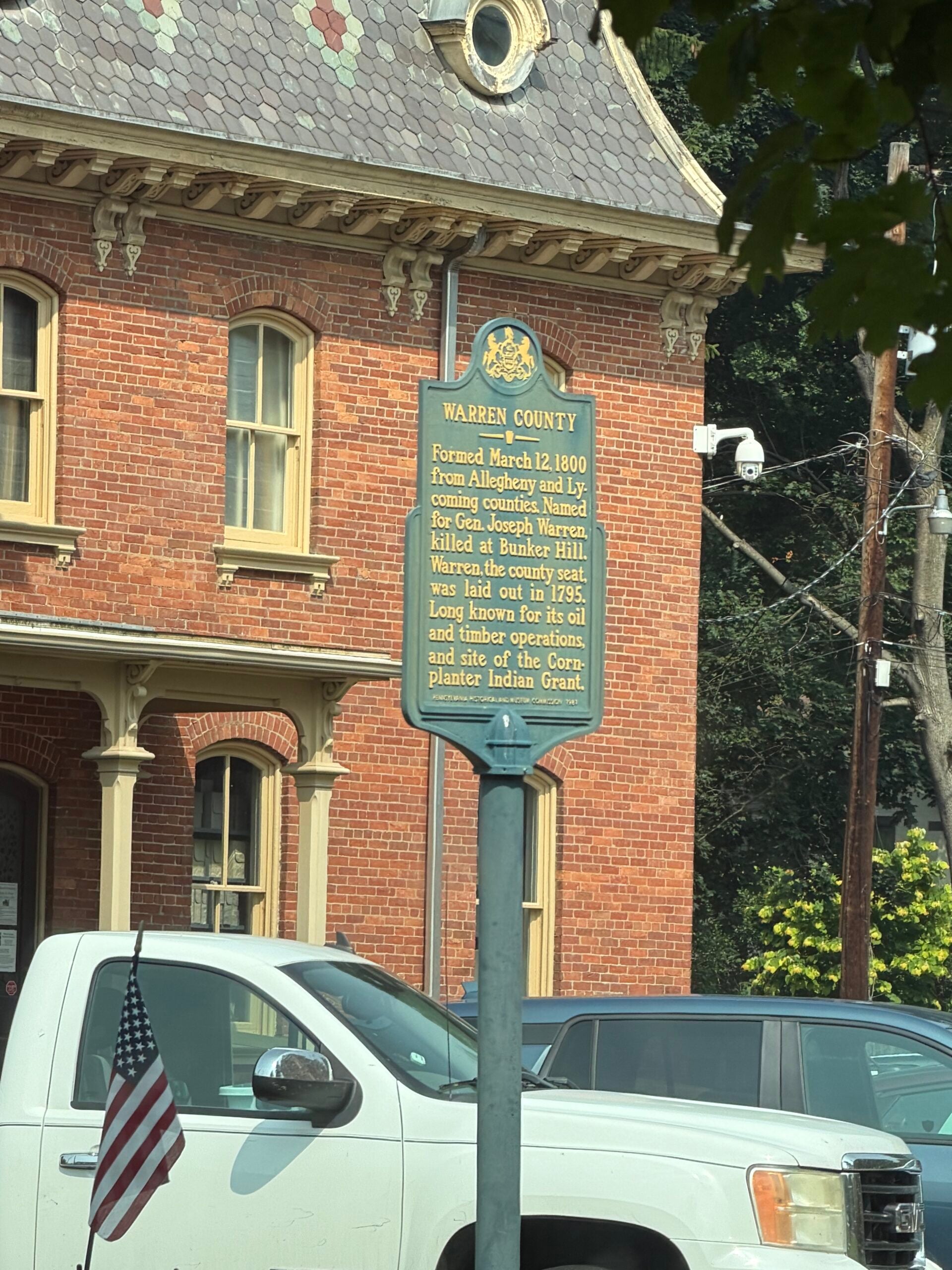
Stop #5 – Warren County

Formed March 12, 1800 from Allegheny and Lycoming counties. Named for Gen. Joseph Warren, killed at Bunker Hill. Warren, the county seat, was laid out in 1795. Long known for its oil and timber operations, and site of the Cornplanter Indian Grant.


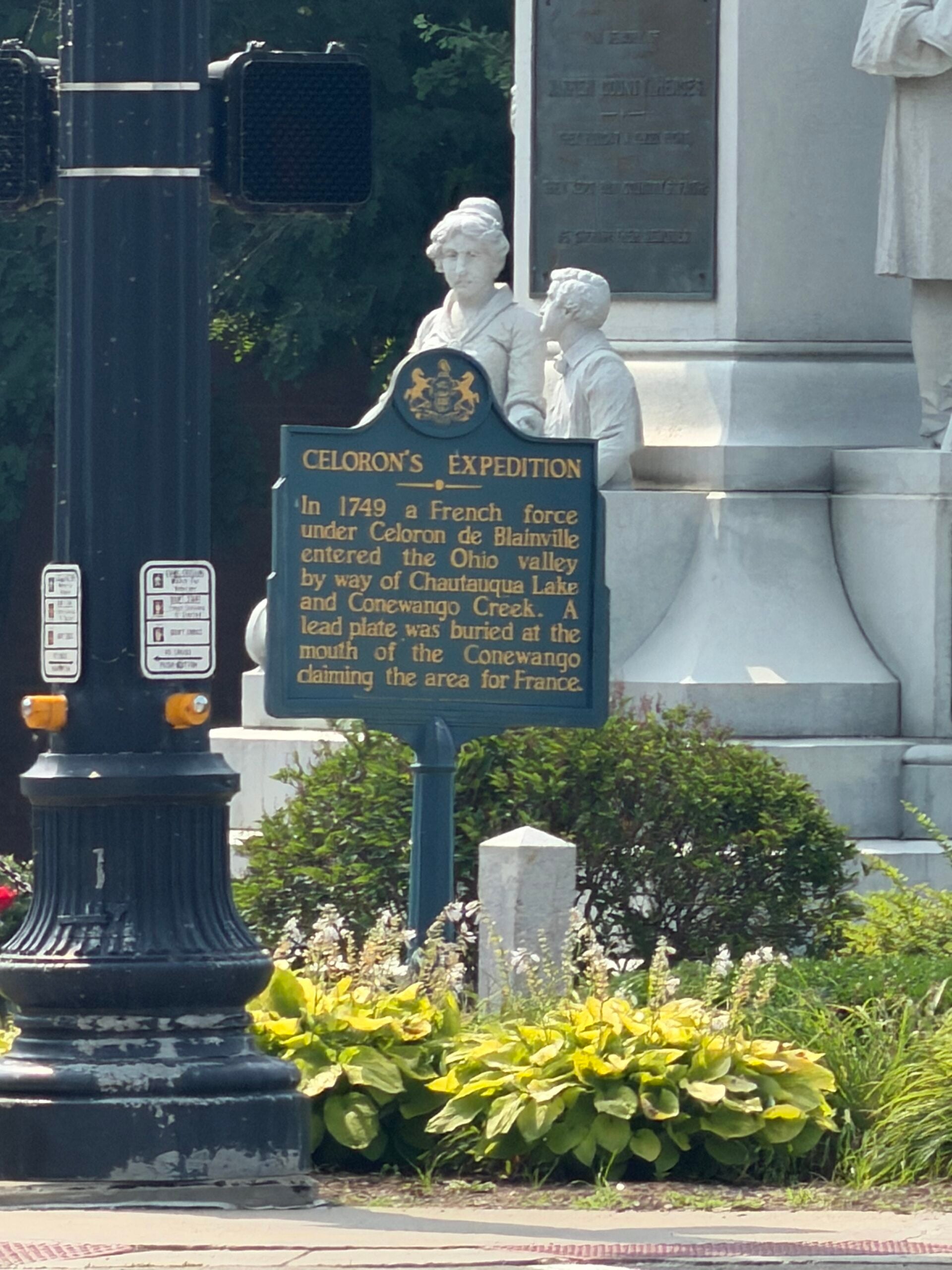
Stop #6 – Celeron’s Expedition

In 1749 a French force under Celoron de Blainville entered the Ohio valley by way of Chautauqua Lake and Conewango Creek. A lead plate was buried at the mouth of the Conewango claiming the area for France.

Website https://www.hmdb.org/m.asp?m=59091

Google Maps Coordinates https://maps.app.goo.gl/3tnzjWb3VHNZqW488

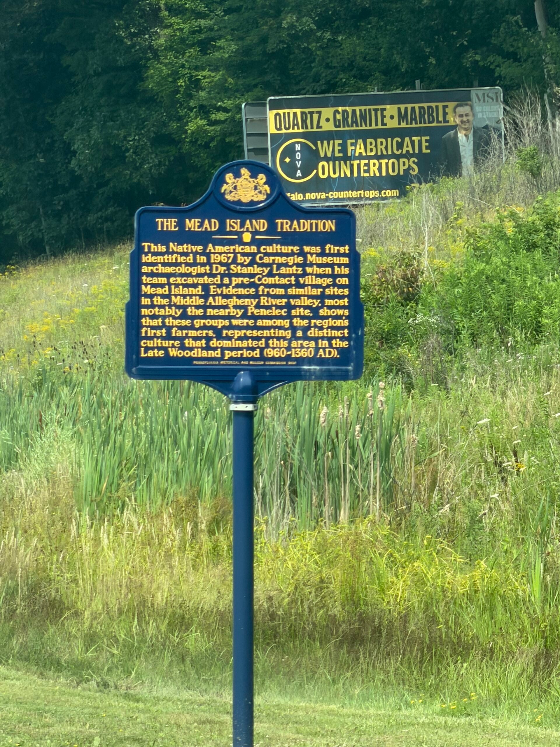
Stop #7 – Mead Island Tradition

Near this location the Mead Island culture was first identified In 1967 by Carnegie Museum Archaeologist Dr. Stanley Lantz on Mead Island. Further excavations of this prehistoric Native American group nearby at the nearby Penelec site and other locations between here and Freeport in Armstrong county verify that these people were the dominant residents of the Middle Allegheny River Valley during the early Late Woodland period (960-1360 AD).

Website https://www.hmdb.org/m.asp?m=185057

Google Maps Coordinates https://maps.app.goo.gl/FX45HW4AXg4JdfC66

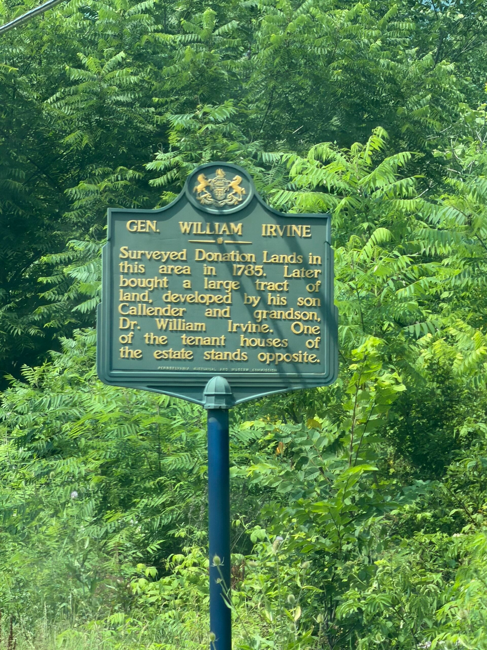
Stop #8 – Gen. William Irvine

Surveyed Donation Lands in this area in 1785. Later bought a large tract of land, developed by his son Callender and grandson, Dr. William Irvine. One of the tenant houses of the estate stands opposite.

Website https://www.hmdb.org/m.asp?m=59089

Google Maps Coordinates https://maps.app.goo.gl/5R9BsTteSgWEDkZPA

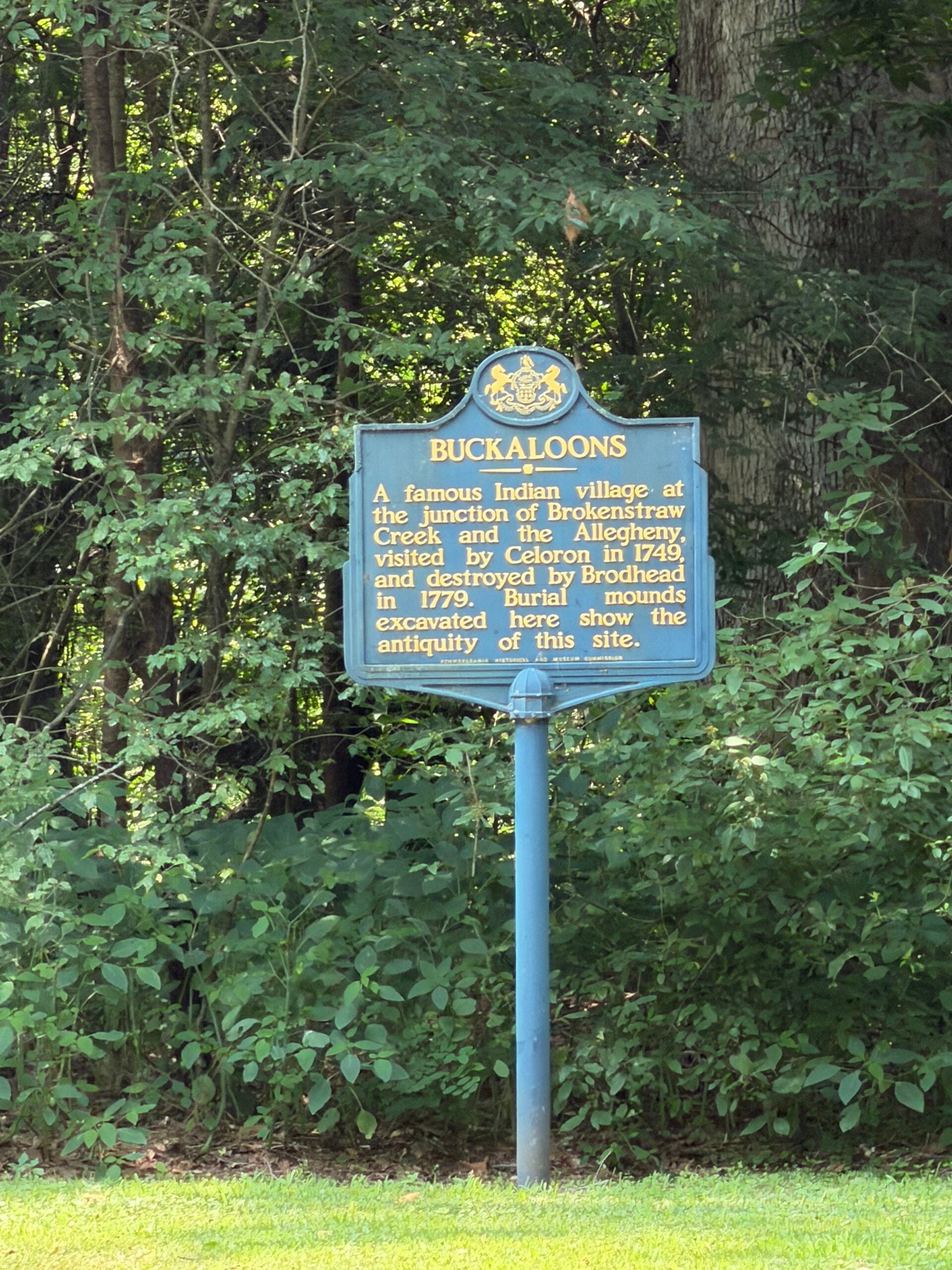
Stop #9 – Buckaloons

A famous Indian village at the junction of Brokenstraw Creek and the Allegheny, visited by Celoron in 1749 and destroyed by Brodhead in 1779. Burial mounds excavated here indicate the antiquity of this site.

Website https://www.hmdb.org/m.asp?m=59088

Google Maps Coordinates https://maps.app.goo.gl/ZNFZ34PF4jTbZxpz8

Discovering Lumber Hertitage Through History and Education

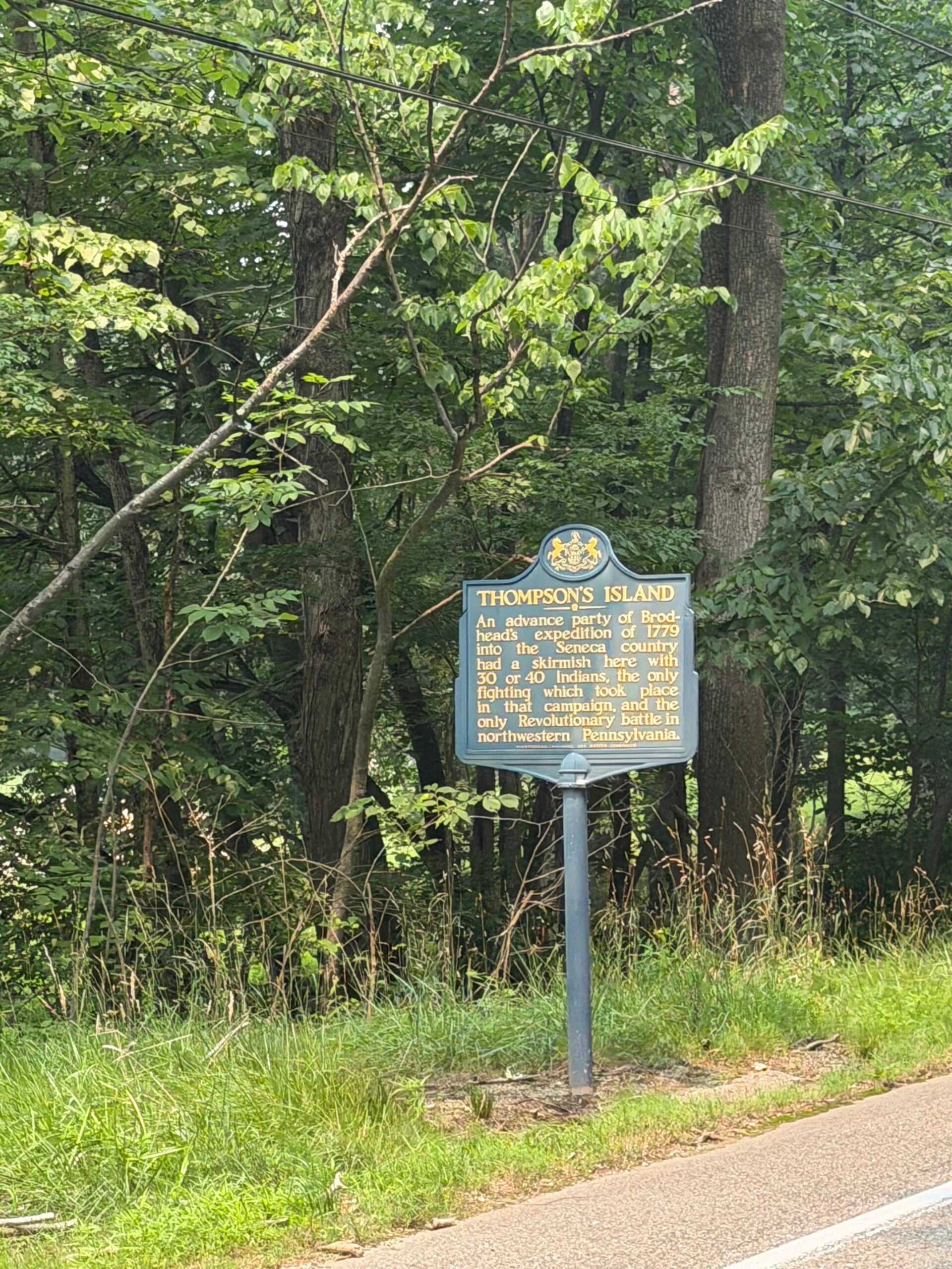
Stop #10 – Thompson’s Island

An advance party of Brodhead’s expedition of 1779 into the Seneca country had a skirmish here with 30 or 40 Indians, the only fighting which took place in that campaign, and the only Revolutionary battle in northwestern Pennsylvania.

Website https://www.hmdb.org/m.asp?m=50507

Google Maps Coordinates https://maps.app.goo.gl/6o5hLrqY3n2dyVwX8

Discovering Lumber Hertitage Through History and Education

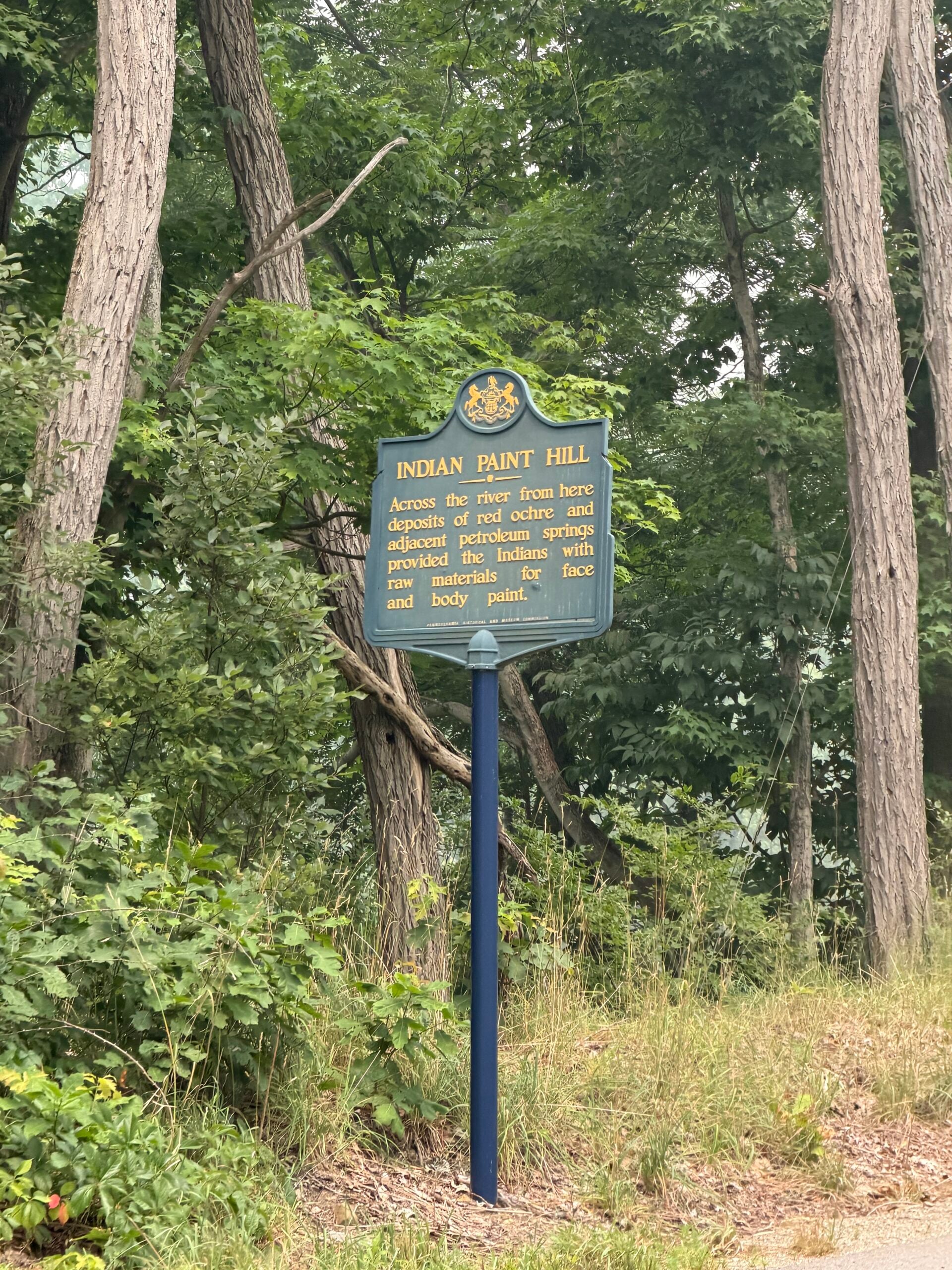
Stop #11 – Indian Paint Hill

Across the river from here deposits of red ochre and adjacent petroleum springs provided the Indians with raw materials for face and body paint.

Website https://www.hmdb.org/m.asp?m=59124

Google Maps Coordinates https://maps.app.goo.gl/GrDatsb9nYPEdre67

Discovering Lumber Hertitage Through History and Education

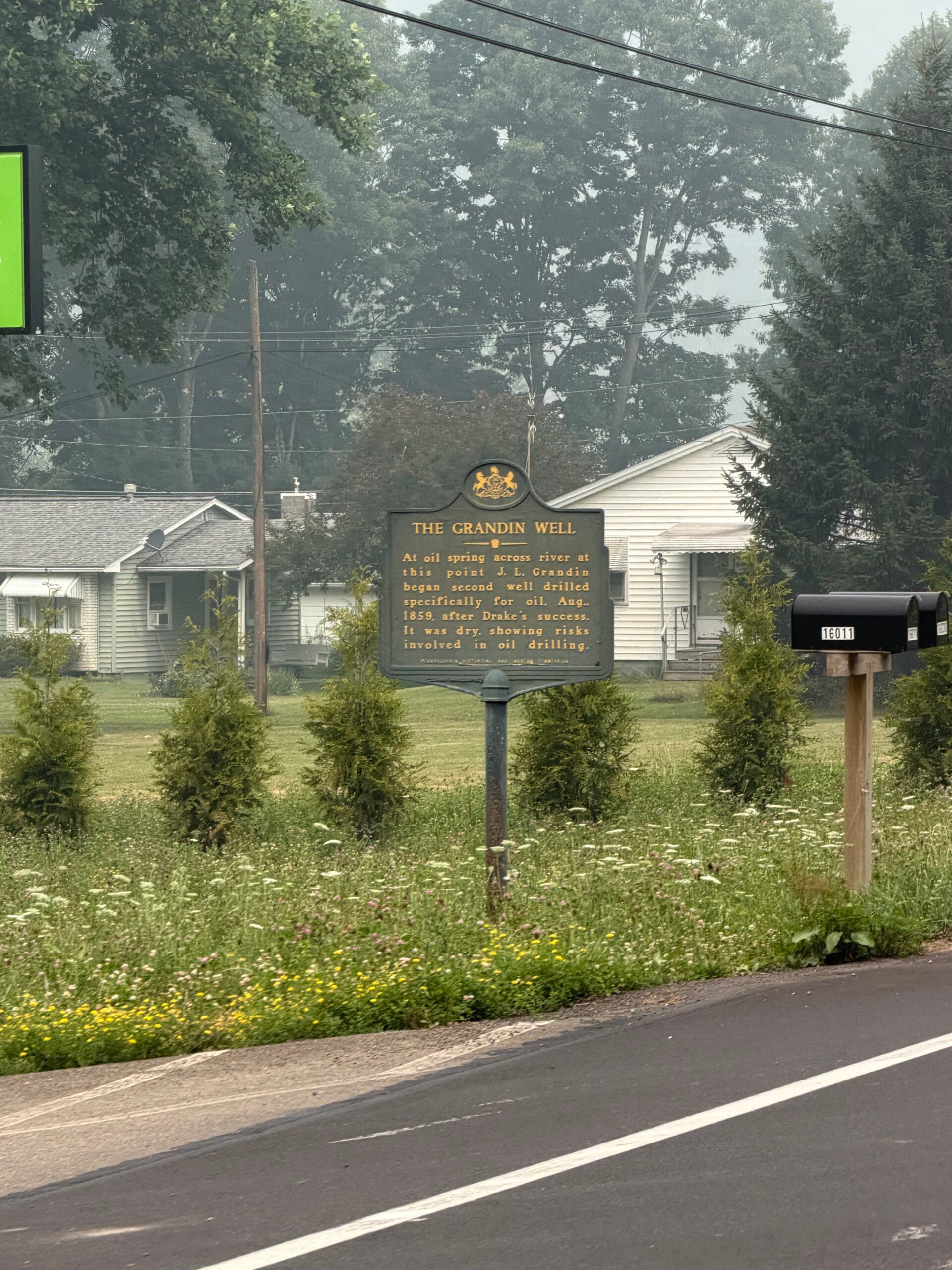
Stop #12 – The Grandin Well

At oil spring across river at this point J.L. Grandin began second well drilled specifically for oil, Aug., 1859, after Drake”s success. It was dry, showing risks involved in oil drilling.

Website https://www.hmdb.org/m.asp?m=39889

Google Maps Coordinates https://maps.app.goo.gl/LBze5PEV2pC1Xj4W8

Discovering Lumber Hertitage Through History and Education

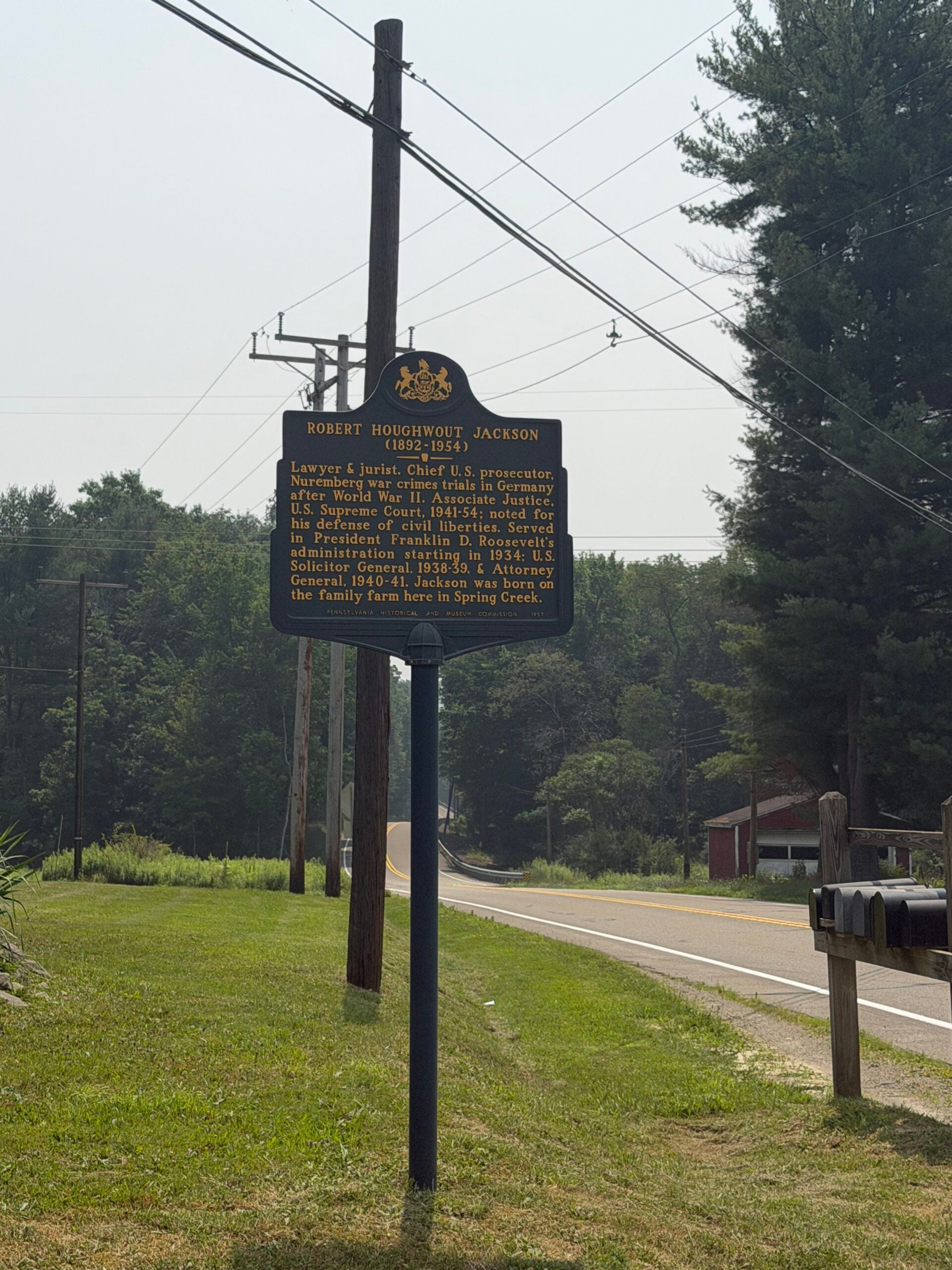
Stop #13 – Robert Houghwout Jackson (1892-1954)

Lawyer & jurist. Chief U.S. prosecutor, Nuremberg war crimes trials in Germany after World War II. Associate Justice, U.S. Supreme Court, 1941-54; noted for his defense of civil liberties. Served in President Franklin D. Roosevelt’s administration starting in 1934; U.S. Solicitor General, 1938-39, & Attorney General, 1940-41. Jackson was born on the family farm here in Spring Creek.

Website https://www.hmdb.org/m.asp?m=64968

Google Maps Coordinates https://maps.app.goo.gl/h8UsCefS7hvWpy2t8

Stop #14 – Gyantwahia, The Cornplanter John O’Bail

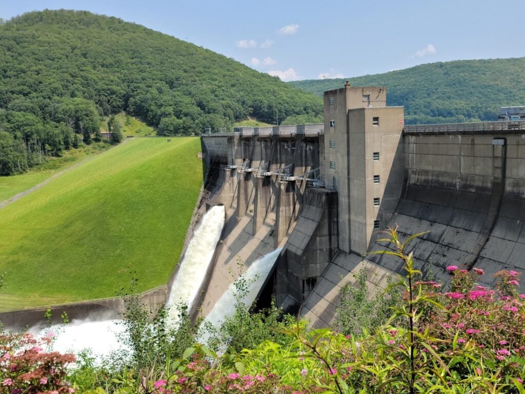
In 1796, the United States granted Cornplanter, a Seneca Chief and diplomat, about 1,500 acres of former Seneca land in Pennsylvania, known as the Cornplanter Tract, to be held by him and his heirs “forever.” In 1960, construction of the Kinzua Dam led to the flooding of this land, forcing remaining residents to relocate to the Allegany Reservation in New York. Before the flooding, Cornplanter’s remains, those of his descendants, and an 1866 monument were moved to higher ground.

Website https://www.hmdb.org/m.asp?m=136253

Google Maps Coordinates http://41.9962000, -78.9419240

Stop #15 – Kinzua

The mouth of this creek was a favored spot of the Seneca for spearing fish. Name is taken from the Iroquois word, genzo waa, literally, “fish up there,” and refers to a wooden fish stuck on top a pole.

Website https://www.hmdb.org/m.asp?m=77776

Google Maps Coordinates https://maps.app.goo.gl/yRsFLQLxkBe2hqB6A

Stop #16 – Sugar Run Mounds

Archaeological excavations immediately to the west of here, revealed three burial mounds, a village site and associated artifacts. The remains represent an outpost of the widespread Hopewellian peoples of the 12th and 13th centuries.

Website https://www.timesobserver.com/history/2023/07/modern-interpretations-on-the-sugar-run-mounds/

A historical marker no longer exists

Follow Us on Instagram